|
| *****SWAAG_ID***** | 72 |
| Date Entered | 12/01/2011 |
| Updated on | 20/12/2011 |
| Recorded by | Tim Laurie |
| Category | Burnt Mound |
| Record Type | Archaeology |
| Site Access | Public Access Land |
| Record Date | 01/01/2005 |
| Location | Countersett Crag. At spring rise below the Main Limestone. |
| Civil Parish | Bainbridge |
| Brit. National Grid | SD 911 879 |
| Altitude | 400m |
| Geology | At spring rise below the Main Limestone. |
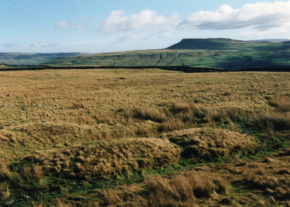
| Record Name | Countersett Crag. Very large burnt mound at spring rise below the Main Limestone. |
| Record Description | Large burnt mound at spring rise located at top of a wide terrace on the south facing slope below Counterset Crag. See site plan.
Round barrow located on Counterset Crag at SD9041 8767, 500m |
| Dimensions | Large, high* |
| Additional Notes | *Indicative Dimensions.
Size: Small <6m, Medium 6m-9m, Large 10m-15m, Extra large >15m.
Height: Low <0.5m, Average 0.5-1.0m, High >1.0m.
This burnt mound is one of at least 10N0 burnt mounds which overlook Semerwater.
Semerwater was the focus of human activity throughout prehistory, for an account of the complex of prehistoric sites around Semerwater, see Laurie 2003. |
| Image 1 ID | 233 Click image to enlarge |
| Image 1 Description | | 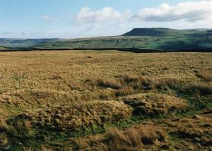 |
| Image 2 ID | 234 Click image to enlarge |
| Image 2 Description | | 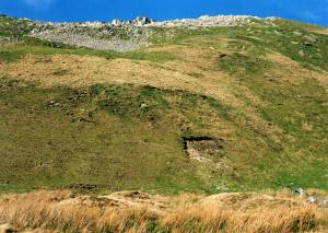 |
| Image 3 ID | 1773 Click image to enlarge |
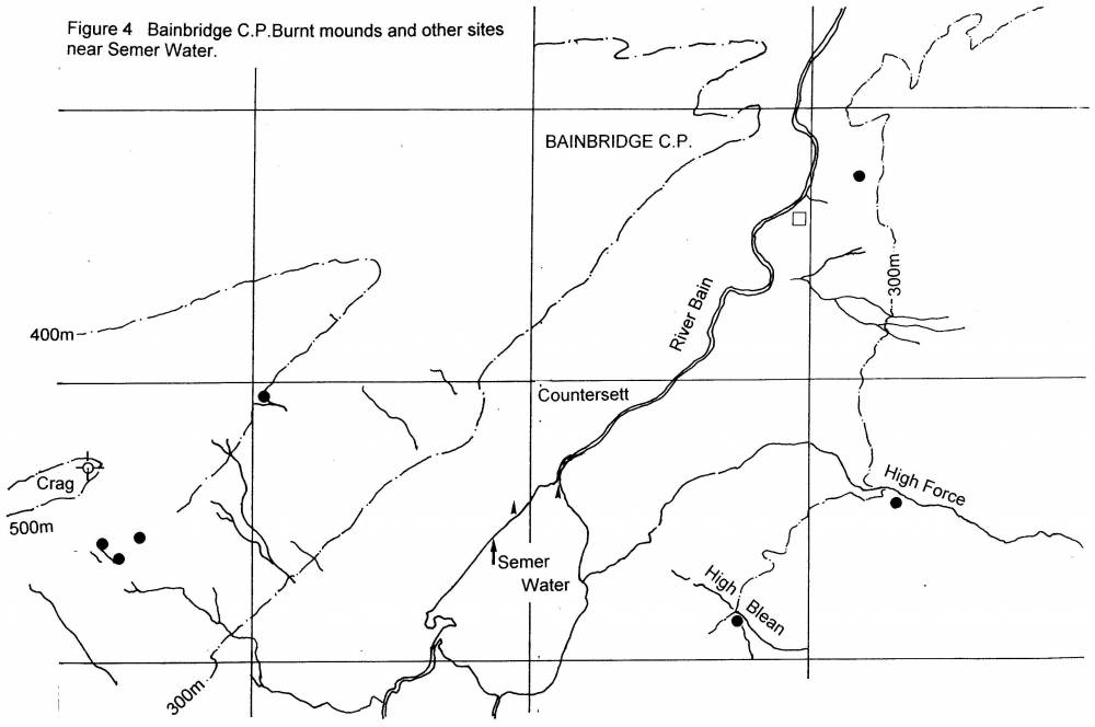
| Image 3 Description | Location of burnt mounds around Semer Water. Not all known burnt mound sites shown. | 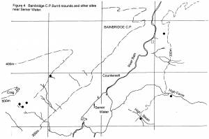 |